
When Elizabeth “Liz” Sherman started her career as a reporter for The Battalion in the early 1990s, she never imagined that her love for digging up stories would one day lead her into the world of satellites, national security and global intelligence.
“I thought I’d spend my career in journalism,” said Sherman, a 1991 Texas A&M University graduate. “But when my husband, John (dean of the Bush School of Government & Public Service at Texas A&M), joined the CIA as a military analyst, I realized the skills were almost the same — research, investigate, write, publish. The only difference was that instead of writing for the public, I was writing for the U.S. government.”
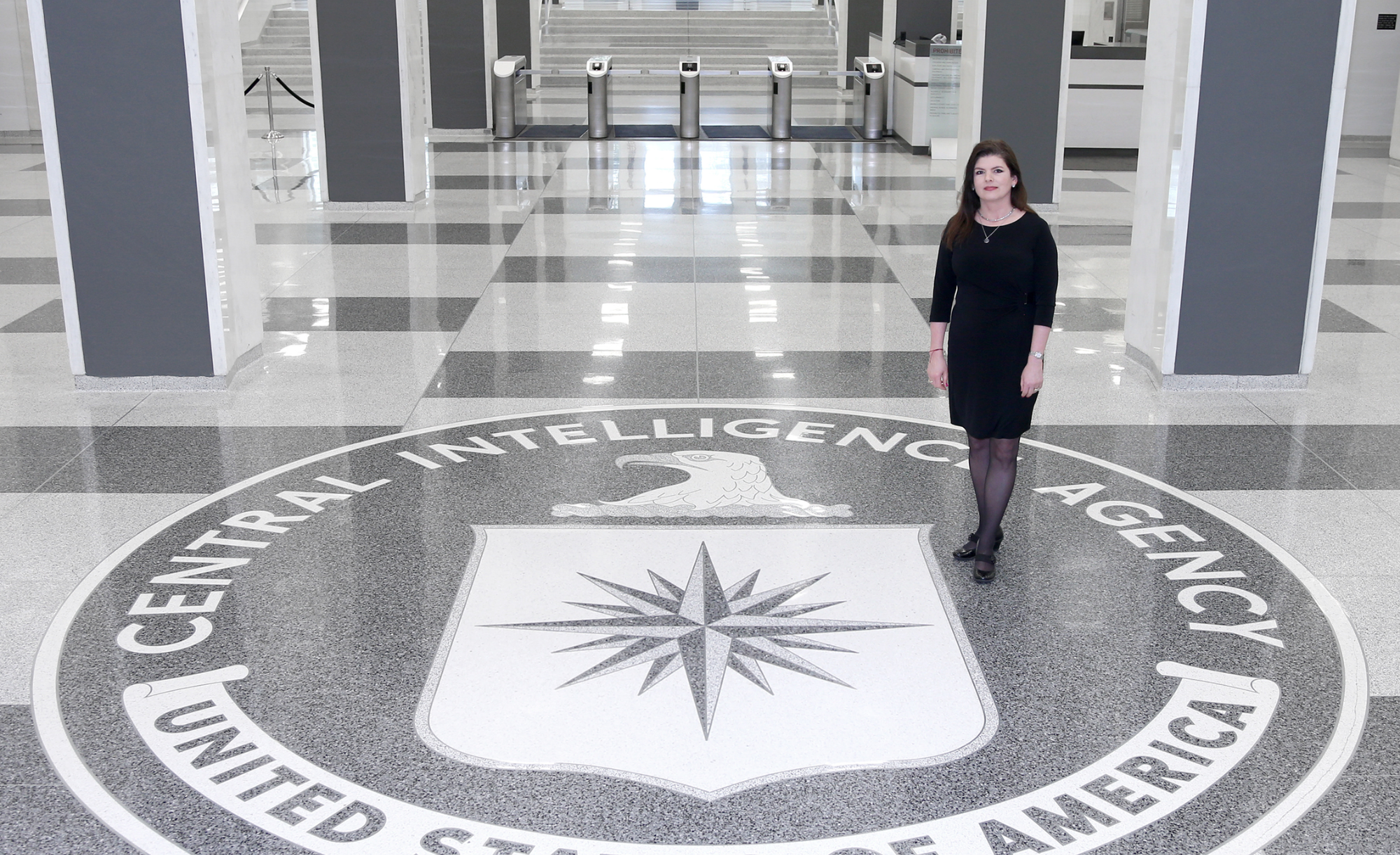
That realization launched Sherman into a 25-year career with the Central Intelligence Agency (CIA) and later the National Geospatial-Intelligence Agency (NGA), where she helped shape how the U.S. understands conflicts, disasters and even the terrain of faraway battlefields.
Now, she’s back where it all started — Texas A&M — serving in a joint appointment as associate professor of the practice in the Department of Geography and the Bush School of Government and Public Service. Her specialty? Geospatial intelligence, or GEOINT, a field that blends satellite imagery, mapping and big data to solve real-world problems.
“Every time you open Google Maps to find the fastest route to Kyle Field on game day, you’re using geospatial intelligence,” Sherman explained. “The same type of information can also guide military missions, track the spread of disease or find safe landing zones for helicopters during a natural disaster. It’s about taking information tied to a location and turning it into insight.”
A Growing Path at Texas A&M
The Geography Department recently launched new coursework and a certificate in geospatial intelligence, an area that is in high demand across government, defense, business and emergency management. Sherman said her role is to bring her real-world experience into the classroom, so students understand both the opportunities and responsibilities of the field.
“In class, we look at how GEOINT shaped major events — like the Cuban Missile Crisis, the Ebola outbreak in Africa and the Iraq War,” she said. “Sometimes it was the key to success, and other times mistakes taught us valuable lessons. My job is to prepare students to think critically and use these tools responsibly.”
Sherman is also working to get Texas A&M’s GEOINT certificate accredited by the United States Geospatial Intelligence Foundation, which would place Aggies among the top tier of programs nationwide.
“This program gives our students a head start,” she said. “Whether they go into public service, local government, or the private sector, they’ll be in demand.”
A Family Commitment to Service

For Sherman, returning to Aggieland wasn’t just a career move — it was a family decision. Her husband, John Sherman, was named dean of Texas A&M’s Bush School in 2023, replacing former Aggie President General (Ret.) Mark A. Welsh III.
“At the time, I had what I considered my dream job — serving as the national geospatial intelligence officer for Africa at NGA,” Sherman said. “But when John was selected as dean, I knew his chance to lead the next generation of public servants was an opportunity we couldn’t pass up. Coming back to A&M felt right for both of us.”
The couple share not only professional backgrounds in national security but also a deep admiration for President George H.W. Bush and his commitment to public service. That spirit, Sherman said, drives her own passion for teaching.
The Future of GEOINT
What excites Sherman most about the field today is how technology is expanding possibilities. She remembers spending a year counting fishing boats in Haiti by hand, only to find her research inconclusive.
“Now, with artificial intelligence, a task that once took me a year could be done in a day,” she said. “That frees analysts to spend more time thinking and making connections. AI won’t replace the analyst — it will make them more effective.”
Ultimately, Sherman said her goal is to spark curiosity and confidence in her students.
“I want them to see geospatial intelligence not just as maps and data, but as a way to make better decisions — for their communities, for their careers, and for the world,” she said. “If they leave Texas A&M with that mindset, then I’ve done my job.”