Learn more about A&Mplified Research in the Texas A&M College of Arts Sciences
Dr. Zhe Zhang, an assistant professor in Texas A&M Geography, is leading a new project focused on using geospatial artificial intelligence (GeoAI) to improve disaster management. With a $1 million grant from the National Science Foundation (NSF), her team is building an international CyberTraining Network that will help students, professionals and researchers learn how to use advanced computer systems and GeoAI tools during natural disasters.
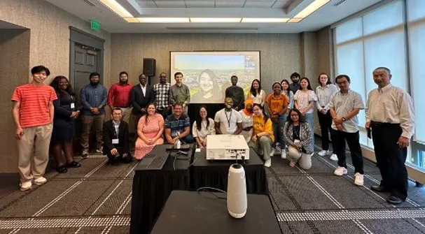
The project will connect experts from universities, government agencies, nonprofits and industry to create free training materials, share disaster-related data and build resources that anyone can access. It also includes hands-on programs like workshops, summer schools and online webinars. These training opportunities will teach participants how to work with large sets of data and make better decisions during emergencies like floods, fires or hurricanes.

Students and educators can apply for participant awards to join the program and build careers in disaster science, transportation, engineering and more. The goal is to grow a skilled workforce and support stronger, smarter responses to disasters that protect communities.
This new project builds on Zhang’s earlier work through her CyberTraining Small project, which developed a full training curriculum on using GeoAI and cyberinfrastructure for disaster response. Her team’s efforts aim to make data-driven disaster management more accessible, more effective and more sustainable for the future.

