
Scurry County in west Texas has recently experienced more than 100 earthquakes, prompting local officials to declare a state of emergency. Dr. Xiaowei Chen, an associate professor in the Department of Geology and Geophysics at Texas A&M University who specializes in earthquake rupture, induced seismicity and subsurface structure, brings her expertise in studying similar induced earthquakes in Texas and Oklahoma to provide valuable insight into what's happening on the plains of west Texas.
Given the recent surge of more than 100 earthquakes in Scurry County in west Texas, can you explain the mechanisms behind induced earthquake activity (seismicity) and how extraction activities contribute to this phenomenon?
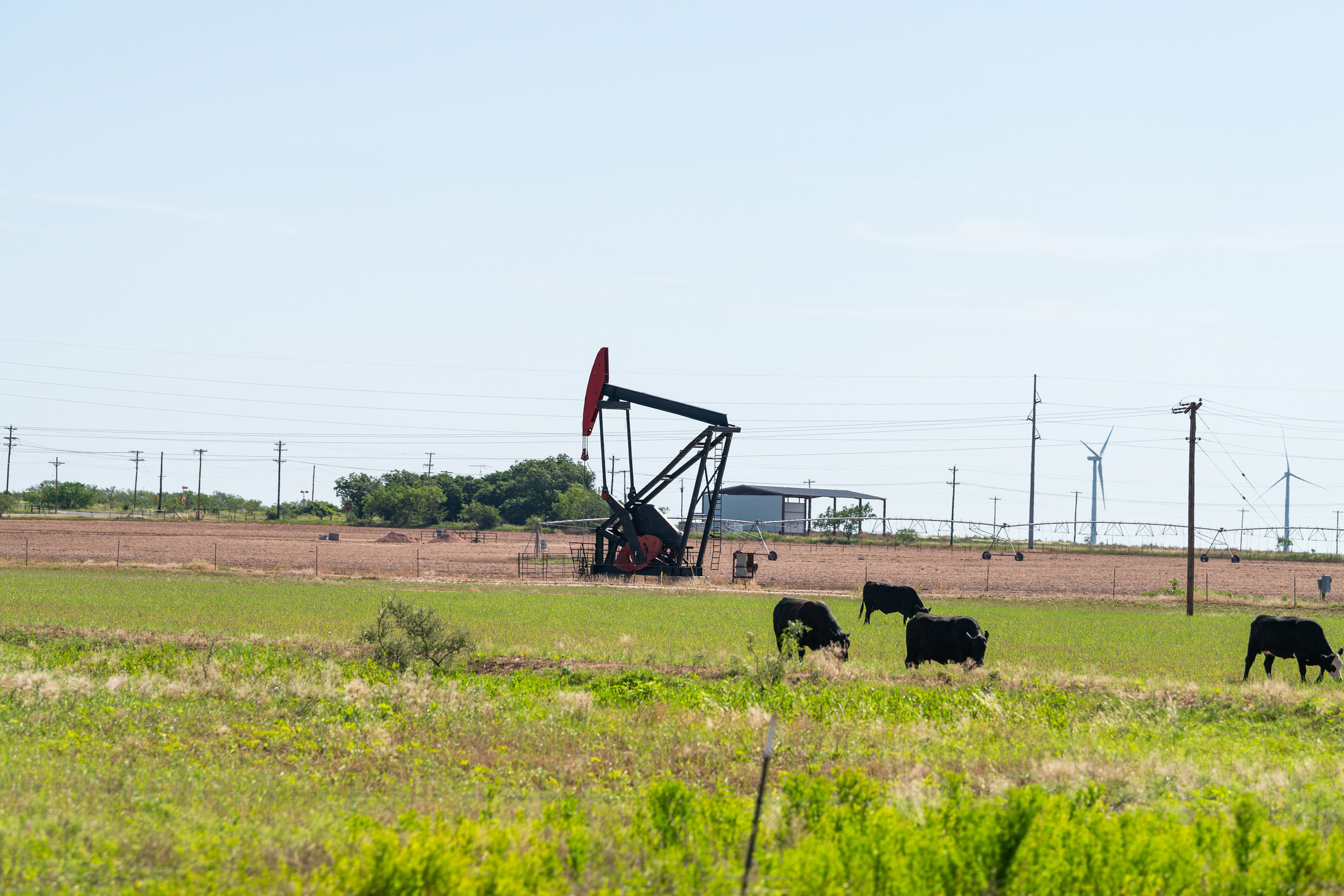
The earthquake activities in west Texas are mostly related to wastewater disposal. Most of the wastewater is produced during oil and gas extractions. For every barrel of oil, there can be 5-10 barrels of saltwater produced. Disposing the produced wastewater is typically done via subsurface injection, which causes the earthquake activities. In the USA Today story on the earthquake outbreak, Justin Rubinstein explains the process in more detail. Dr. Rubinstein also has a research article that further explains the different operations of oil/gas activities that cause induced seismicity in central US.
As noted in the USA Today article, the Texas Railroad Commission has linked these earthquakes to the injection of produced water. Can you elaborate on how the process of saltwater disposal can trigger seismic events?
Earthquakes occur when the stress loading on a fault exceeds the fault's strength, similar to pulling a box with a spring on a regular surface: The friction between the box and the surface holds the box static, while stretching the spring increases stress loading. Injected water increases pore pressure and alters the normal and shear stresses on the fault, causing it to slip easier and produce earthquakes, like pulling the same box on a watery surface.
The Texas Railroad Commission has noted that converting deep saltwater disposal wells to shallow ones could reduce seismicity. What are the main differences between deep and shallow wells, and how might this conversion help lower earthquake activity?
In the Midland Basin area, where Scurry County is situated along the eastern edge, earthquakes occur within the crystalline basement rock, approximately 4 kilometers deep. Above this basement, various sedimentary layers exist. Injecting wastewater into deep sedimentary layers can facilitate stress transfer to the basement faults, especially when these faults extend through the sedimentary layers. In Oklahoma, deep wastewater disposal has been linked to increased seismic activity, but shifting to shallower wells has reduced earthquake rates. Similarly, in the Midland Basin, injecting into shallower layers without hydraulic connections to the deep basement may help limit stress transfer to the basement faults. A recent study by Stanford University geophysicists Jeong-Ung Woo and William L. Ellsworth explores this topic further. Although Scurry County was not highly active during their study, the underlying mechanisms are likely similar.
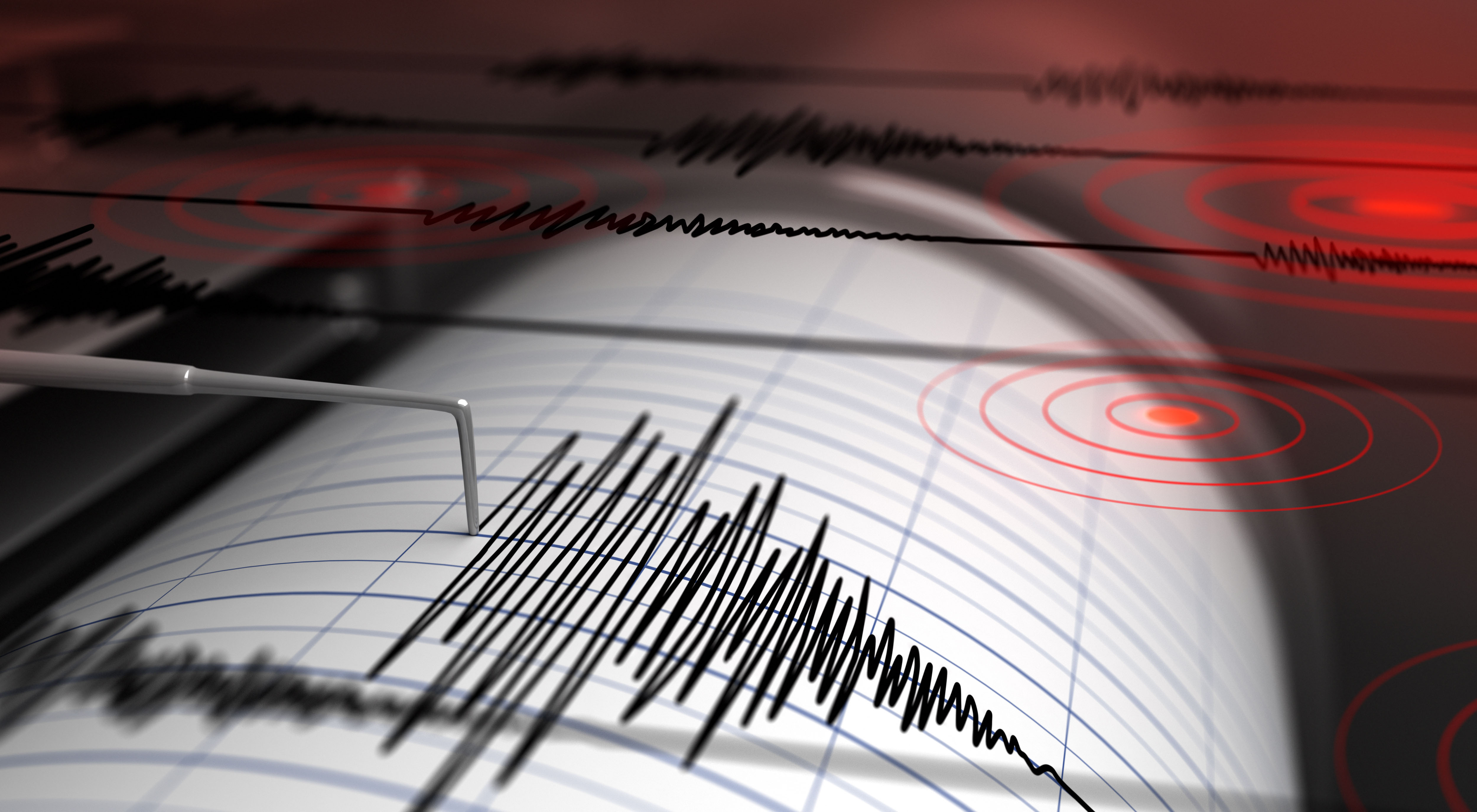
The USA Today article talks about how an earthquake is measured, officially called the moment magnitude scale. How does the moment magnitude scale work, and why is it important for understanding the impact of these earthquakes in west Texas?
The seismic moment is the product of three key factors: shear modules (measures the stiffness of the fault material); fault slip (measures how much the fault moved, typically on scales from centimeters to meters) and fault area (measures the dimensions of the fault, typically meter to kilometer scales). Stanford University geophysicists Mark Zoback and Steven Gorelick illustrate this well using a graph in their research paper showing the relationships among various scaling parameters for earthquakes. The moment magnitude, calculated from the seismic moment, is an important parameter because it links with the physical dimensions of the fault rupture and directly corresponds to the energy released during an earthquake.
What specific evidence supports the assertion that the recent earthquakes in Scurry County are related to oil and gas activities rather than natural causes?
Scurry County extends from the Midland Basin area studied in the Woo and Ellsworth research and is likely affected by similar oil and gas activities. The evidence includes both spatial and temporal correlations between earthquake occurrences and injection activities. This means that earthquakes often occur near the sites of injection activities (spatial correlation) and also tend to happen around the same time as these activities (temporal correlation, typically with some time delay that corresponds to time scale of pressure diffusion). Geomechanical modeling studies have found that stress changes from wastewater disposal on subsurface faults are sufficient to trigger earthquakes. More research is needed in Scurry County to evaluate detailed relationship between injection and earthquake activities and the stress transfer mechanism with detailed fault structures.
Given the state of emergency declared in Scurry County, what immediate and long-term measures can be implemented to address and reduce the risk of induced seismicity in this region?
Drawing from experiences in Oklahoma, immediate measures would include regulating wastewater disposal by limiting the depth, volume and rate of injection. However, the impact of these injections on earthquake activity can be long-lasting. For instance, in the Prague area of Oklahoma (64 miles east of Oklahoma City), a magnitude 5 earthquake occurred in 2024 — more than 12 years after a magnitude 5.7 earthquake in 2011 — despite efforts to reduce injection volumes.