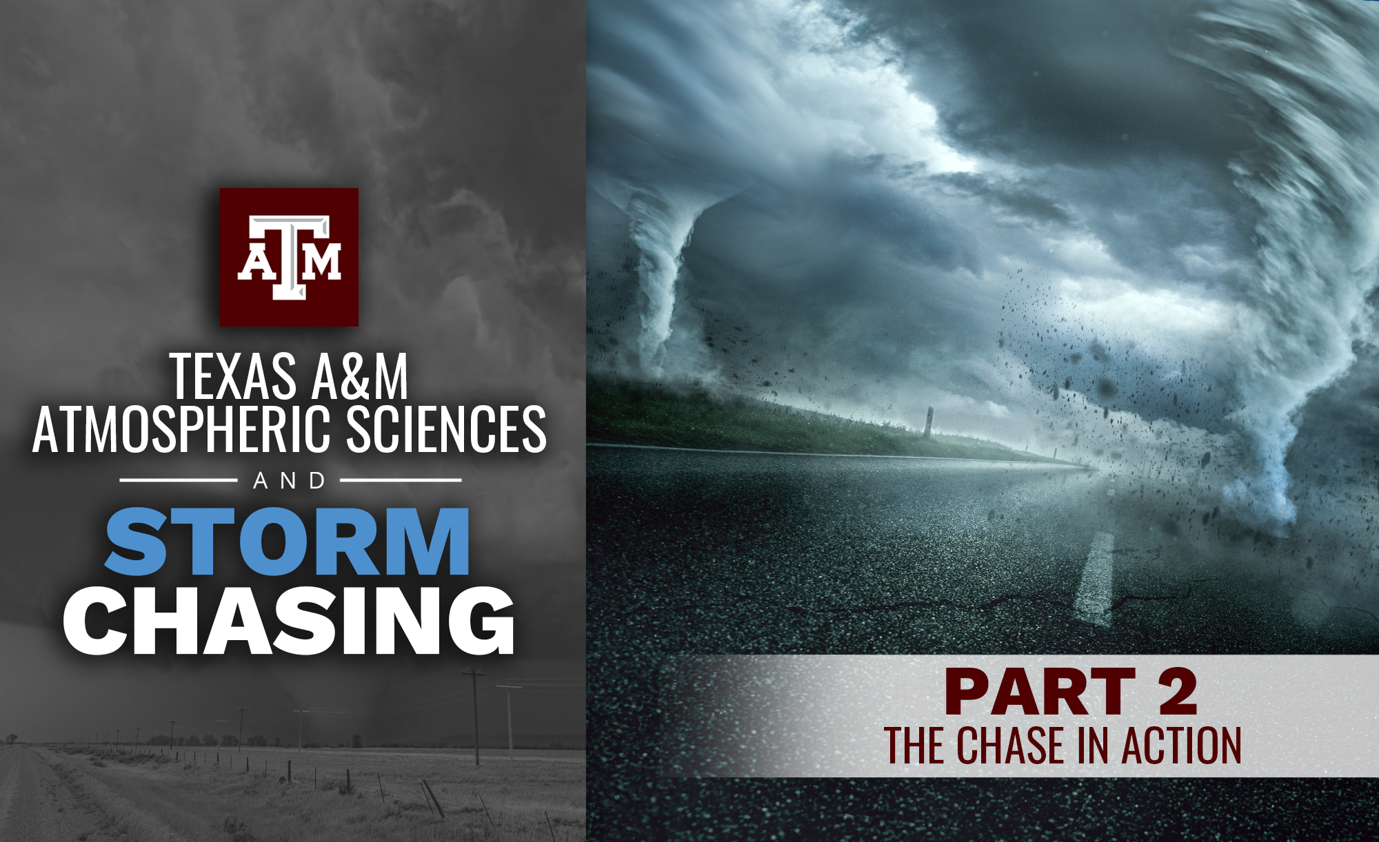
Welcome to Texas A&M Atmospheric Sciences and Storm Chasing — a three-part series showcasing how Aggie researchers are uncovering the science behind severe weather. From tracking supercells on the plains to advancing radar technology and forecasting tools, Texas A&M’s Department of Atmospheric Sciences is leading work that saves lives and expands our understanding of the skies. This student series on a student field trip takes you through the full storm-chasing experience: preparing to chase, the chase in action and the future shaped by chase data.
In part two, we follow along as students take their forecasting skills on the road, launching weather balloons, tracking supercells across Texas and Oklahoma, witnessing a tornado near Pauls Valley, and learning from every chase, even when the weather doesn’t cooperate.
The chase kicked off in Riesel, Texas, with the students launching their first weather balloon to measure vertical profiles of temperature, humidity, pressure, and winds. The data were sent directly to forecasters across the region. By afternoon, storms fired northwest of Waco. The vans traveled toward an isolated supercell under a tornado warning. Students tracked its rotation, studied its structure, and learned how a forecast comes to life. The storm didn’t produce a tornado, but the lesson was clear: even the best setups don’t always deliver.
The next morning found the team in Duncan, Oklahoma. They launched a balloon from the back of a Braum’s parking lot and watched a storm explode almost immediately overhead. Chasing it for hours, they witnessed a brief tornado touch down near Pauls Valley.
“It’s one thing to see a storm on radar,” Dr. Chris Nowotarski said. “It’s another to stand in front of it and realize the power of what you’ve been studying.”
By the end of the weekend, the chase stretched across Oklahoma. Students made split-second decisions on which storms to target, debated shifting targets in real time, and met scientists from other projects using mobile radars and lidars. At one stop, they realized they had missed four tornadoes hidden in haze — a frustrating reminder that storms don’t always cooperate. Still, the data they collected that day became some of the most scientifically valuable of the trip.
On Sunday, students began with careful hand analyses of surface conditions before the daily forecast discussion. After shifting targets multiple times, they teamed up with the LIFT field project from Texas Tech and OU/NSSL in Seiling, Oklahoma. Students launched their balloon and watched a supercell develop nearby. Although they couldn’t see the tornadoes it produced, the experience showed the value of tracking storm environments for research.
The final chase took them near Jacksboro, Texas, where a slow-moving supercell gave students some of the closest and clearest views of the trip. It transitioned from heavy rain to a low-precipitation storm, providing perfect teaching moments — even though it never produced a tornado. After hours on the road, the vans rolled back to College Station near midnight.
Across five days of long drives, storms, and launches, students learned patience, teamwork, and real-world forecasting. Every chase tested their skills and pushed them to apply what they had learned in the classroom. Students were tired — but data analysis awaited, and Part 3 would show how all of their observations could turn into meaningful research.