Texas A&M Oceanography & the Blue Economy
|
Welcome to Texas A&M University Oceanography and the Blue Economy — a three-part series diving into the forward-thinking work of Aggie scientists who are charting the course for a smarter, more sustainable ocean future. From harnessing the power of the sea to protecting our coasts and conserving vital ecosystems, Texas A&M’s Department of Oceanography is helping lead a new wave of innovation, education and discovery. As one of the nation’s only land-, sea- and space-grant institutions, our researchers are not just studying the ocean — they’re shaping its future.
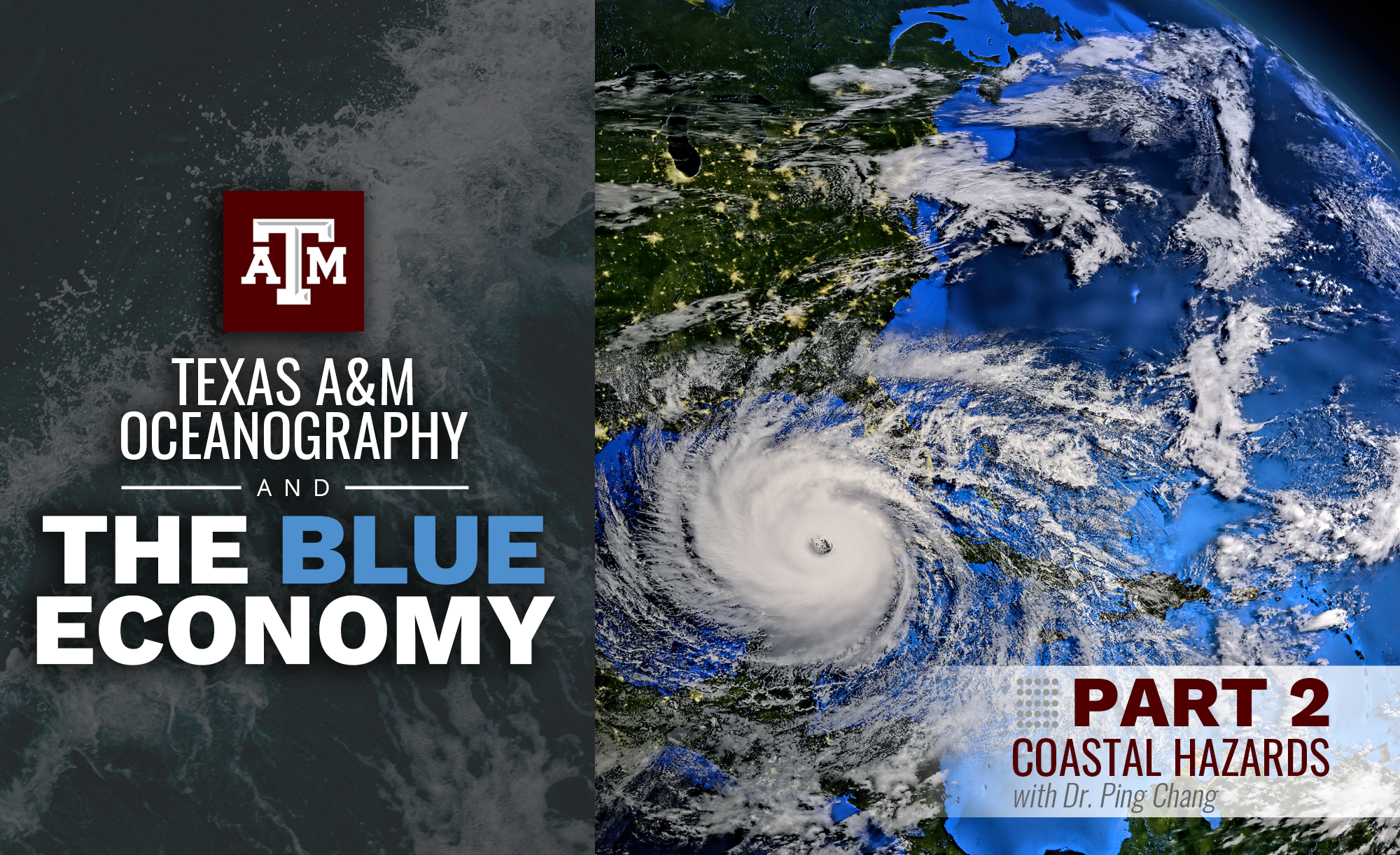
So, what is the Blue Economy? A simple definition is using ocean science to build jobs, protect the environment and support the many ways people and industries rely on a healthy ocean. This three-part series highlights how Aggie researchers in the Department of Oceanography at Texas A&M University are fueling the Blue Economy through science that drives real-world impact. Part 2 explores oceanography and coastal hazards with Dr. Ping Chang, University Distinguished Professor in the Department of Oceanography and the Louis & Elizabeth Scherck Chair in Oceanography. His work focuses on high-resolution climate modeling to better understand sea-level rise and the behavior of extreme weather events, such as hurricanes. This research helps improve forecasting, strengthens coastal resilience and guides long-term planning for vulnerable communities.
Q: The Blue Economy focuses on using ocean resources responsibly while protecting ecosystems. How do coastal hazards like sea-level rise and hurricanes challenge this balance?
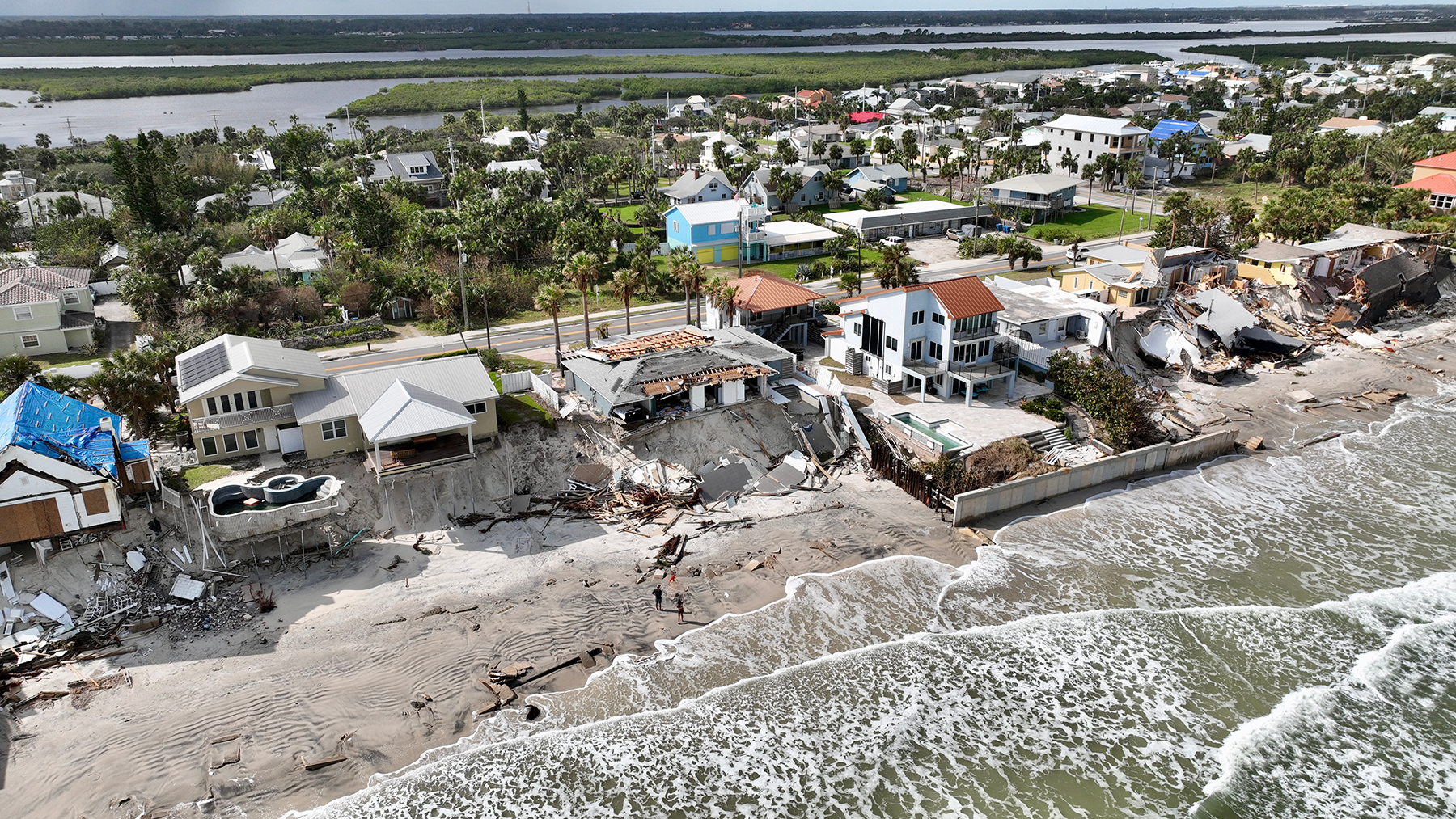
A: Coastal hazards like sea-level rise and hurricanes pose serious threats to both economic growth and ecosystem health. Rising seas damage infrastructure, hurt tourism and fishing industries, and lead to saltwater intrusion that harms freshwater supplies and coastal ecosystems. Erosion weakens shorelines, while stronger hurricanes can destroy ports, energy sites and marine habitats. The compounding effects of sea-level rise and more intense hurricanes could significantly amplify future coastal flooding and damage. Recovery is expensive and can take focus away from long-term sustainability. To meet these challenges, the Blue Economy must include smart planning—like resilient infrastructure, nature-based solutions such as mangrove restoration, and sustainable development that protects both people and the environment.
Q: How can advanced models help predict the impact of sea-level rise and hurricanes on coastal economies?
A: Advanced Earth system models are key tools for understanding how sea-level rise and hurricanes affect coastal regions. They simulate future climate change scenarios at high resolution to show where sea-level rise, storm surge and flooding are most likely to occur. Projections from these models also help estimate economic losses and test the effectiveness of strategies like wetland restoration or smarter urban planning. With this data, communities can better prepare and invest in long-term resilience.
Q: How are Texas A&M students studying the effects of coastal hazards on industries that rely on the ocean?
A: At Texas A&M, students use advanced climate models to study how sea-level rise and hurricanes may affect coastal industries. These high-resolution models show how climate risks vary by location and allow students to analyze future scenarios along the Gulf Coast. They look at storm surge, ocean currents and shoreline changes to assess the effects on the economy. Through partnerships with groups like The Nature Conservancy, students also study nature-based solutions and how well they reduce damage from storms and rising seas. These experiences give students hands-on practice using science to guide policy and protect coastal communities. Their research helps create smarter strategies for balancing economic growth and environmental protection.
Q: What are some of the biggest challenges in protecting coastal economies from rising sea levels and storms, while ensuring long-term sustainability?
A: One major challenge is balancing development with conservation. Coastal economies rely on industries like tourism and fishing, but overbuilding can damage natural defenses like wetlands and dunes. These ecosystems help absorb storm impacts, and when they’re lost, communities become more vulnerable. Aging infrastructure is another issue. Ports, roads and buildings in many areas are not built to withstand stronger storms and rising seas. Upgrading them is expensive and hard to plan due to climate uncertainty. Global cooperation is also key since climate risks cross borders. Countries and industries must work together to share knowledge, tools and resources. Sustainable coastal planning requires environmental, economic and social goals to all be part of the solution.
Q: What emerging technologies or methods are helping coastal communities better predict and manage the risks of sea-level rise and hurricanes?
A: Modern technology is giving communities better ways to understand, predict and manage coastal risks. High-resolution climate models improve forecasts of storm strength and sea-level rise. Satellite data and sensor networks provide real-time updates on storms, erosion and flooding. These tools feed into early warning systems that help with emergency response. GIS technology supports evacuation planning and land-use decisions. AI helps improve storm predictions and risk assessments. Some areas are testing flood-resistant buildings and nature-based defenses like living shorelines. Cloud computing and big data also help communities make better use of climate data. Together, these innovations help coastal regions prepare, adapt and become more resilient.